Main Features
- data collection sheets for quickly documenting speed measurements and
conditions
- a data-input module for adding speed measurements by location into the
database
- a grid summary form that places speed data in a standard grid sheet format
and calculates the critical statistics needed for determining the proper
speed limit posting, including the 85th, 50th, and 15th percentile speeds
and the ten mile per hour (MPH) pace
- an engineering and traffic summary page that automatically accesses and summarizes the speed data from the system and provides a data-entry screen for inputting accident history, traffic factors, and physical conditions not readily apparent to the motorist
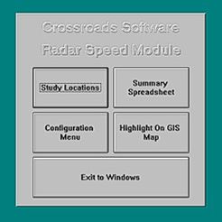
- ability to create and display speed zones on a GIS map using ESRI's ArcView
software (requires the Traffic Collision Database)
- ability to edit existing speed data and full survey records
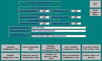
- ability to customize the database to suit your specific needs, including
configurable distances, and report headings and data for lanes, roadway geometrics,
road conditions, weather, adjacent land use, conditions not apparent, and more
- printable summary reports that include essential speed survey data (including percentile speeds, accident rates, and speed limit changes) in an easy-to-read format
In Depth Part I>>


