
GIS mapping
collision diagrams
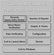
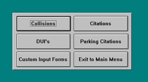
input, edit, print, and delete collision, citation, and DUI records
records management
street name verification
read to and from external databases
queries by location, primary collision factor, collision type, reporting district, highest degree of injury, and other factors
reports for intersection historical and high incidence, midblock historical and high incidence, and other collisions
graph and chart functions, customizable for time period, collision type, and other factors
data analysis of highest degree of injury, collision type & involved with, weather & lighting conditions, and much more
complete editing capabilities
full customization
automatic upgrades, which update the software to the latest version
